CA BMUFA 0030-1-UF2009.29.p769
·
Item
·
2009-05-10 - ?
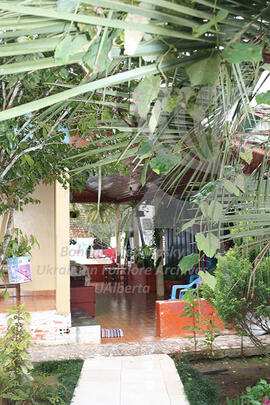
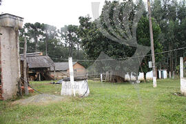
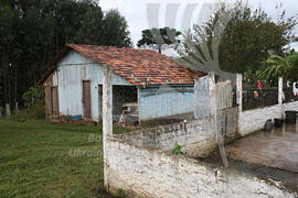
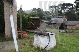
Part of Maryna Hrymych Brazil collection
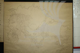
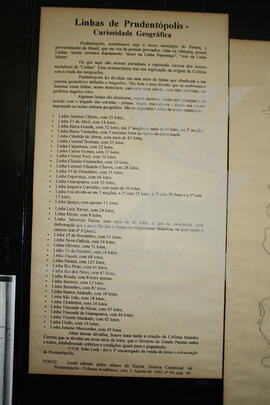
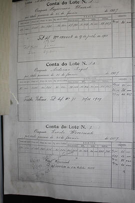
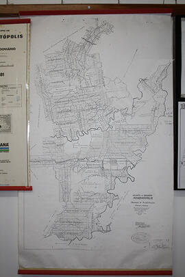
A topographic map of Ukrainian Colonies in Prudentopolis region